|
Auktionshaus Kiefer
Steubenstraße 36
75172 Pforzheim
Telefon 07231 / 92 32 0
http://www.kiefer.de
neue Website >>
Testen und nutzen Sie unsere kommende Website. || Test and use our new upcoming website.
Auktion 144:
Translator:
Auktion 144
Kontext-Informationen


|
|
Artikel suchen
facebook
Kiefer.de - Newsletter
|
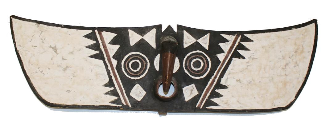
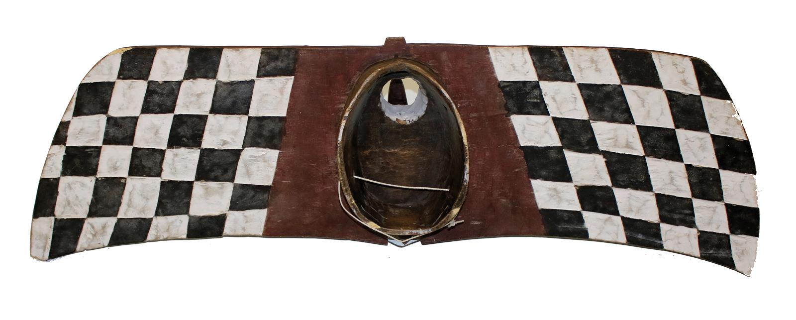
144-2318 Bwa Burkina
Schätzpreis: D 300,00 € | Zuschlag: 180,00 €
Faso Eulen- o. Schmetterlingsmaske. Mundschlitz u. Stirnhorn. Kaolin Bemalung. 31 x 114 cm.
|
Schätzpreis:
D 300,00 €
Ihr Gebot:
Artikel wurde verkauft.
Schätzpreis:
D 300,00 €
Verkauft für:
180,00 €
NEU:
KIEFER Pforzheim
Tel. +49 (0)7231 / 9232-0
Ähnliche Artikel
|
|
|