|
Auktionshaus Kiefer
Steubenstraße 36
75172 Pforzheim
Telefon 07231 / 92 32 0
http://www.kiefer.de
neue Website >>
Testen und nutzen Sie unsere kommende Website. || Test and use our new upcoming website.
Auction 144:
Translator:
Auction 144
Context information


|
|
Search items
facebook
Kiefer.de - Newsletter
|
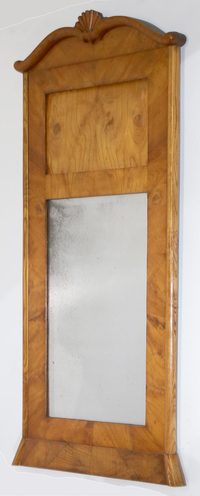
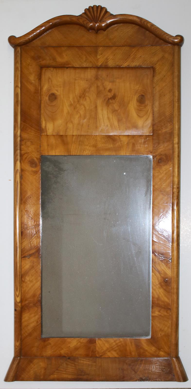
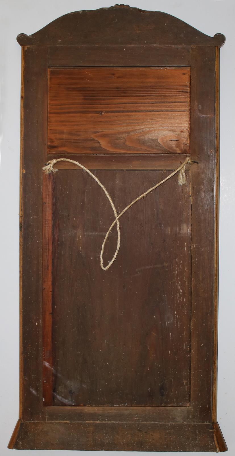
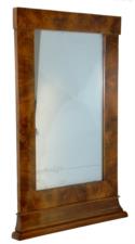
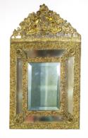
144-2546 Biedermeier
Estimate: D 120,00 € | After-auction price: 80,00 €
Spiegel. Wohl Eschenholz. Dach mit geschnitzter Muschel. 113 x 51 cm.
|
Estimate:
D 120,00 €
After-auction price:
80,00 €
Buy now:
NEW:
KIEFER Pforzheim
Tel. +49 (0)7231 / 9232-0
Similar items
144-2549 Paar Biedermeier, 80,00 €
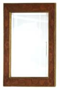
144-2545 Biedermeier, 100,00 €
144-2550 Prachtspiegel, 120,00 €
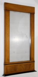
144-2548 Paar Biedermeier, 80,00 €

144-2553 Spiegel, 93,00 €
|
|
|