|
Auktionshaus Kiefer
Steubenstraße 36
75172 Pforzheim
Telefon 07231 / 92 32 0
http://www.kiefer.de
neue Website >>
Testen und nutzen Sie unsere kommende Website. || Test and use our new upcoming website.
Auction 144:
Translator:
Auction 144
Context information


|
|
Search items
facebook
Kiefer.de - Newsletter
|
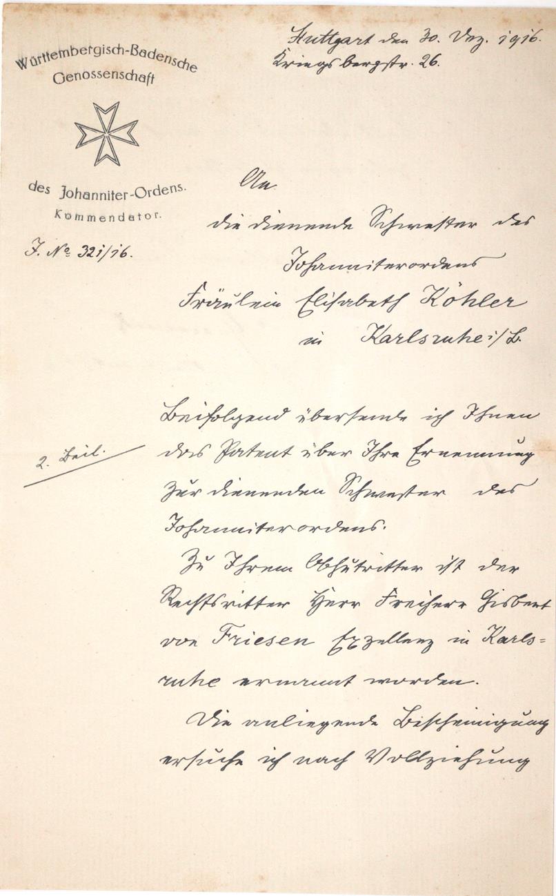
144-2184 Graevenitz, Friedrich Gustav Theodor von,
Estimate: D 120,00 € | After-auction price: 80,00 €
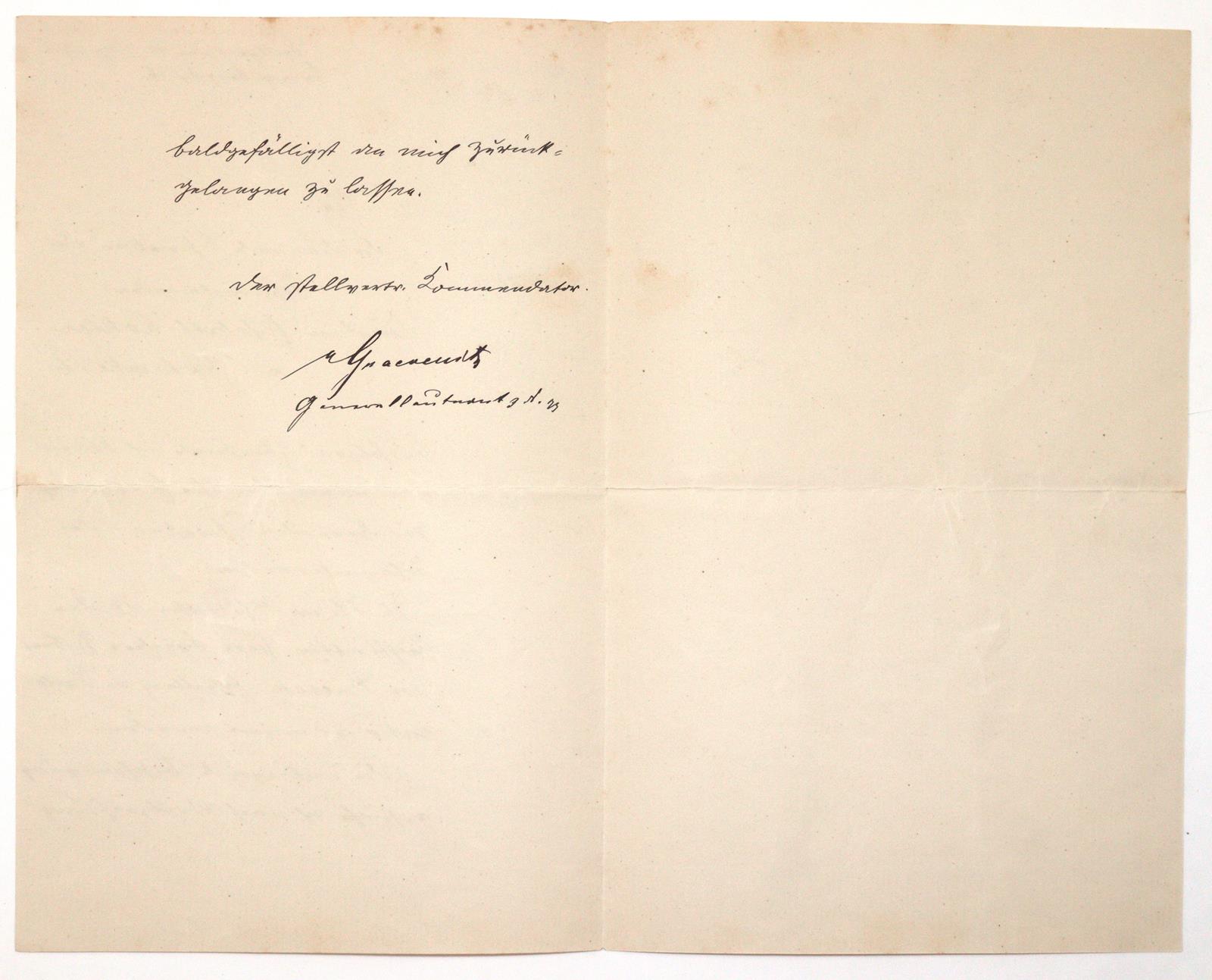
württemb. General d. Infanterie, im 1. WK Militärbevollmächtigter im Großen Hauptquartier (1861-1922). Eh. Unterschrift unter einem Brief als stellvertretender Kommendator der Württemb.-Badensche Genossenschaft des Johanniter-Ordens, dat. Stuttgart, 30. Dez. 1916. 8°. 2 Bl., 2 S. beschr. Gefalt.
An Elisabeth Köhler, dienende Schwester des Johanniter-Ordens in Karlsruhe als Begleitschreiben zum Patent ihrer Ernennung. "Zu Ihrem Obhutritter ist der Rechtsritter Herr Freiherr Gisbert von Friesen Exzellenz in Karlsruhe ernannt worden...".
|
Estimate:
D 120,00 €
After-auction price:
80,00 €
Buy now:
NEW:
KIEFER Pforzheim
Tel. +49 (0)7231 / 9232-0
Similar items
|
|
|