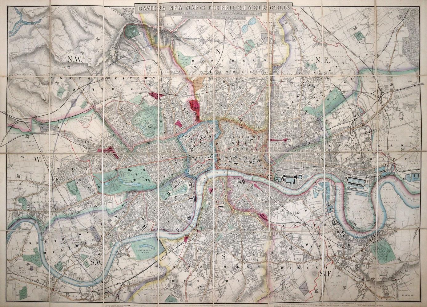
London.
Davies's New Map of the British Metropolis, the Boundaries of the Boroughs, County Court Districts, Railways, and Modern Improvements. Teilkolor. lithogr. Plan bei Stanford, London o.J. (2. H. 19. Jh.). In 32 Segmenten auf Lwd. kasch. u. mehrf. gefalt., ca. 68 x 95 cm. Olwd. mit Blindpräg. u. goldgepräg. Deckeltitel. (Berieb., vord. Gelenk angeplatzt). - Exlibris.
Bildübersicht zum Artikel

Zuschlag:
180,00 €
Große Abbildungen zum Artikel