Stanford,E.
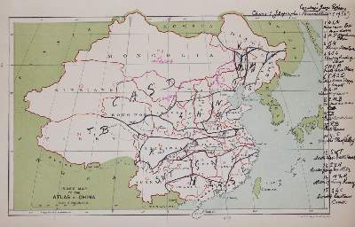
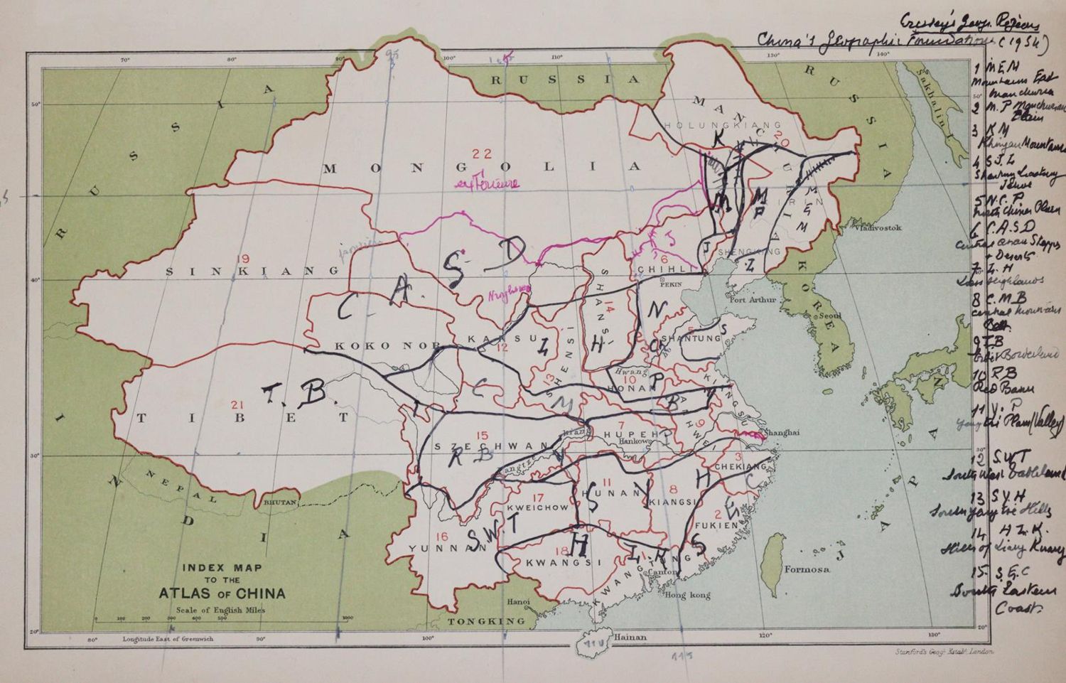
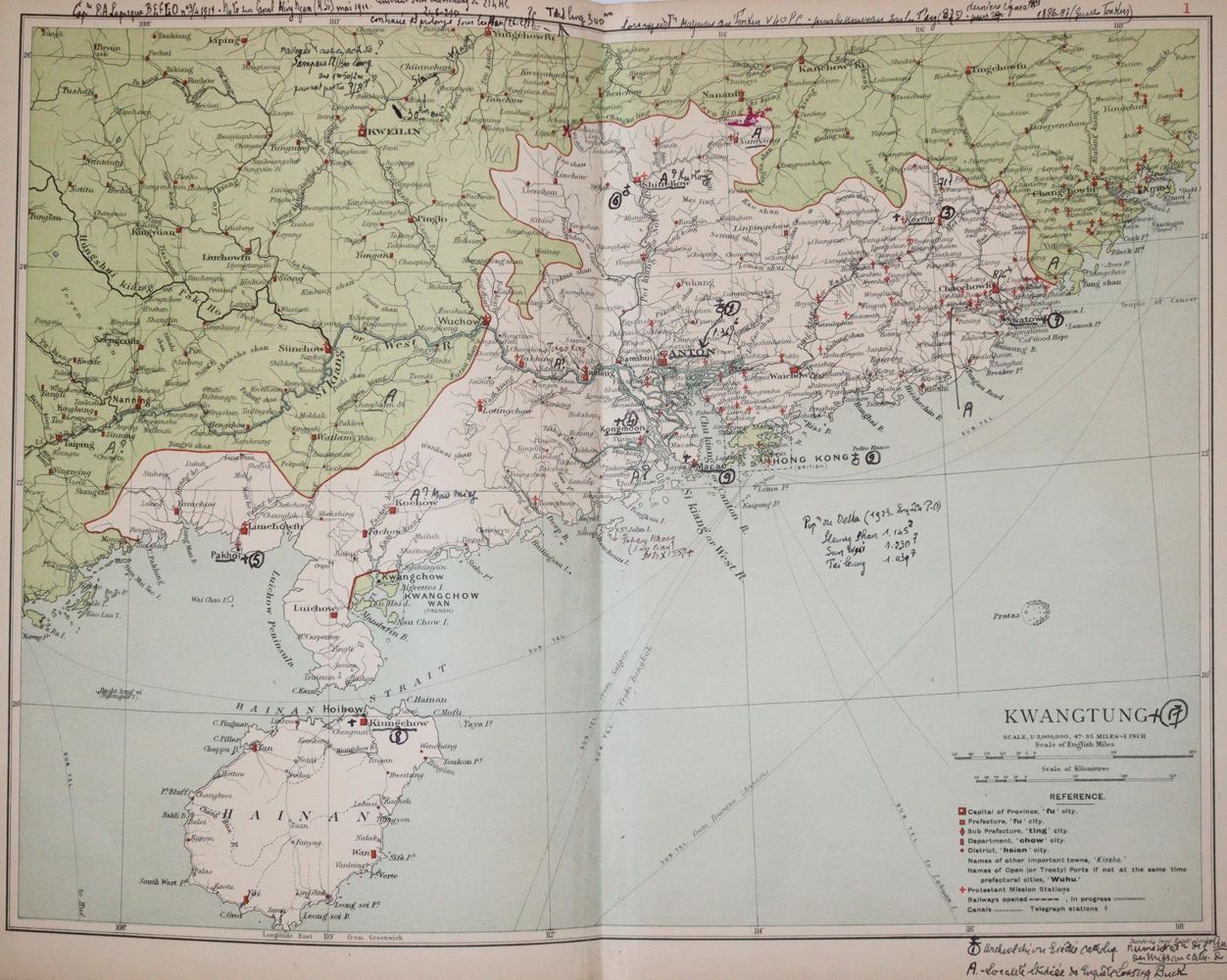
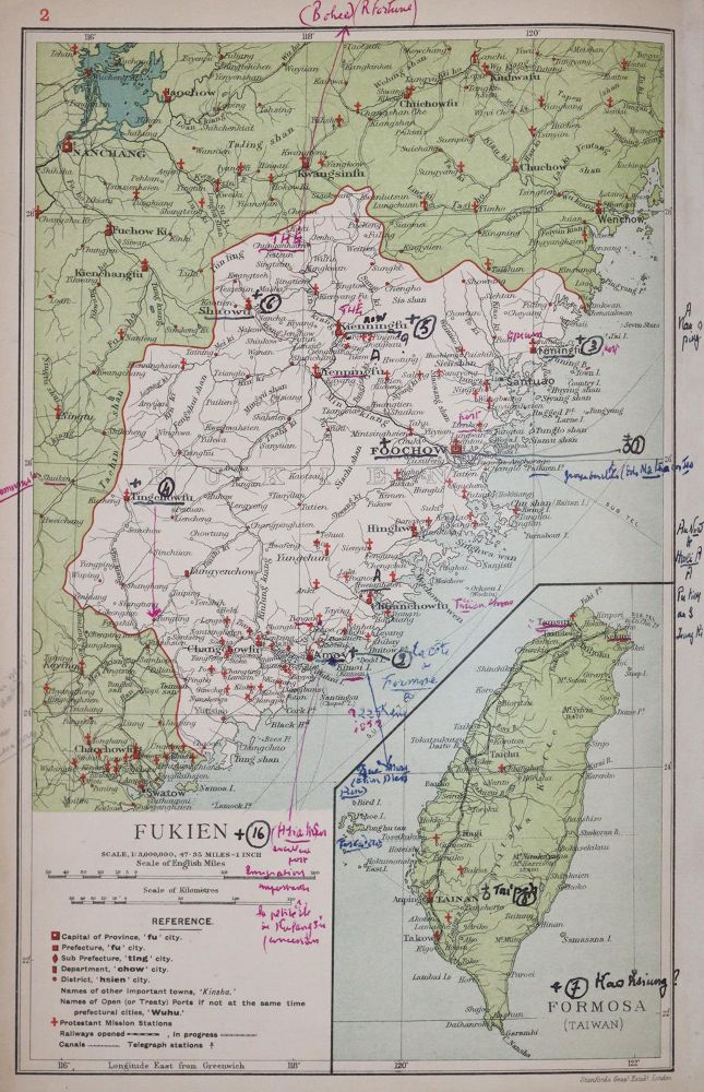
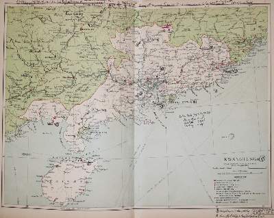
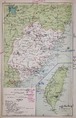
Atlas of the Chinese Empire, containing separate maps of the eighteen provinces of China proper... and of the four great dependencies... together with an index to all the names on the maps and a list of all protestant mission stations, etc. London u.a., Morgan & Scott (1908). Kl.Fol. Mit farb. lithogr. Übersichts-Karte u. 22 farb. (tls. dplblgr.) lithogr. Karten. XII, 16 S., 2 Bl. Goldgepräg. Olwd. (Gelenke beschäd., berieb. u. best.). - Phillips 3195. - Alle Karten mit zahlr. hs. Eintr.
Bildübersicht zum Artikel
Zuschlag:
140,00 €
Große Abbildungen zum Artikel