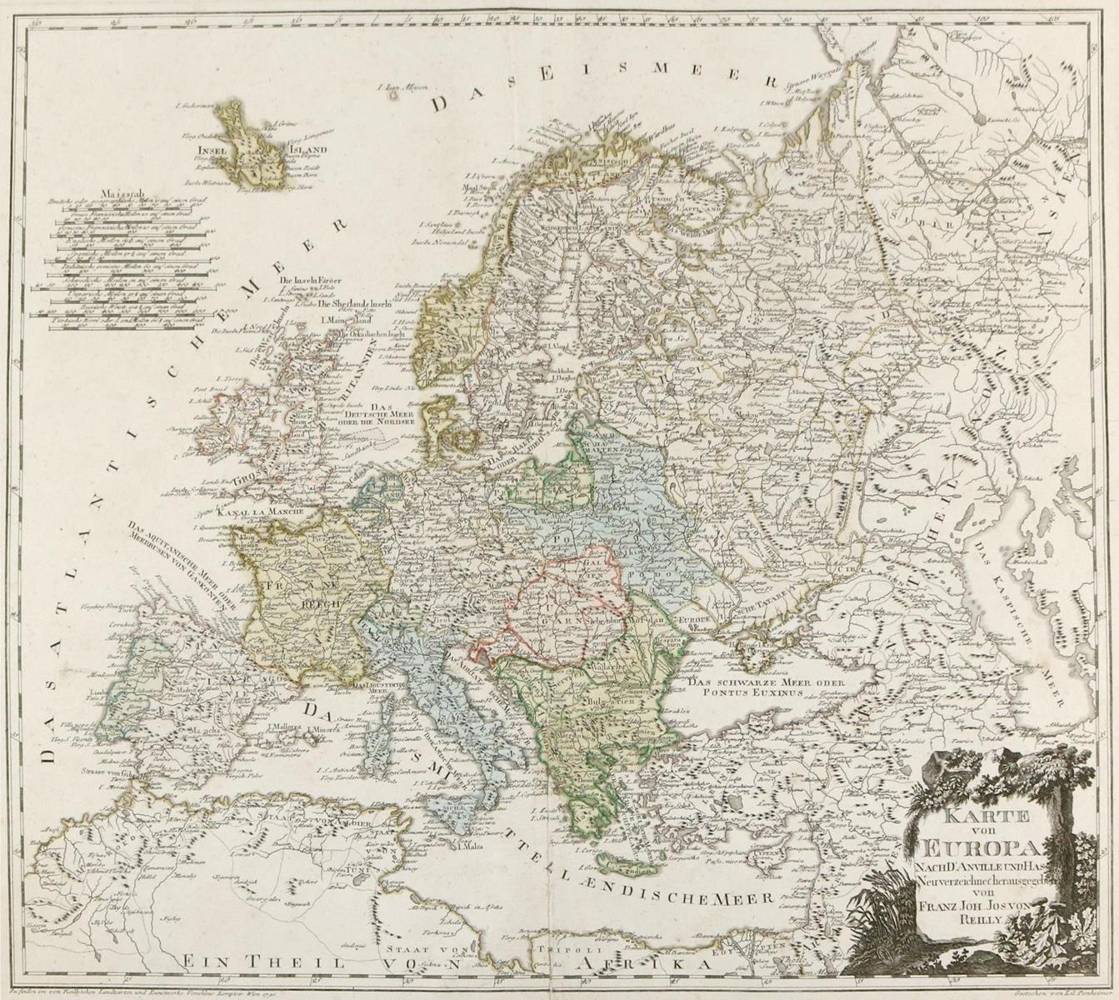
Europa.

Karte von Europa. Nach d'Anville und Has. Neu verzeichnet hrsg. Teilkolor. Kupferstichkarte v. K.Ponheimer aus: Großer Deutscher Atlas bei F.J.Reilly, ca. 1795. 45 x 50,5 cm. Mit NR. "II" im unt. re. Platteneck. - Falzeinriss unt. unterl., stellenw. etw. stockfl.
Große Abbildungen zum Artikel