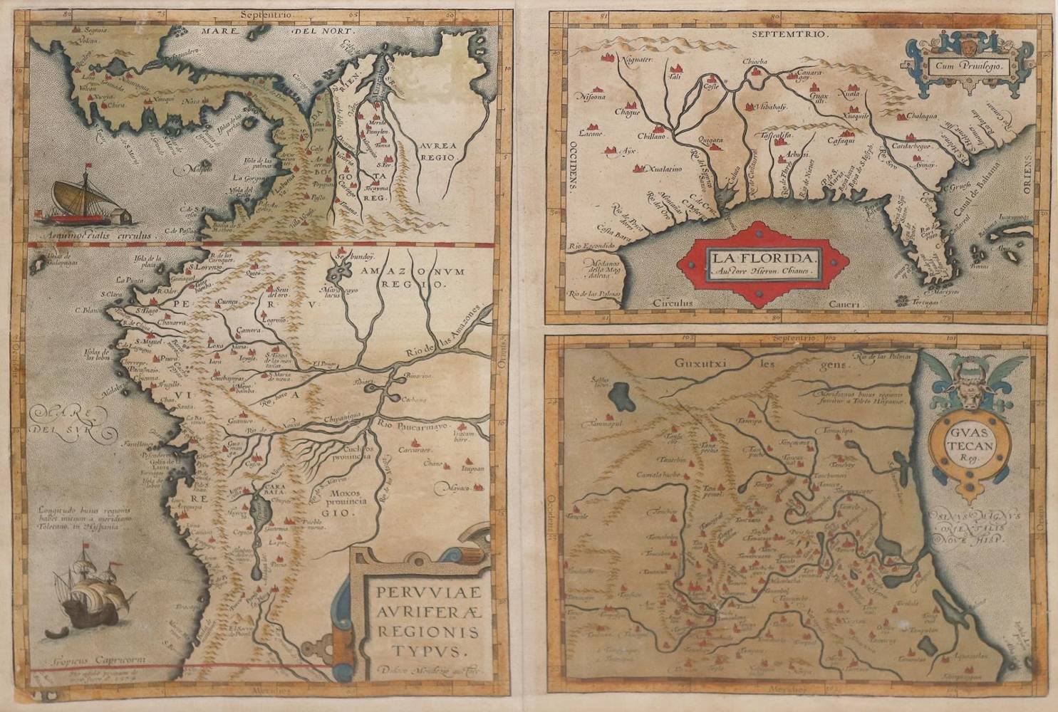
Florida.
"La Florida", n. (G. de) Chaves. - Darunter: "Gvastecan Reg.", Ostküste v. Mexiko (bei Tampico) - Links neben beiden Peru, n. D.Mendezius). 3 Karten von 1 Platte. Dplblgr. grenzkolor. Kupferstichkarte aus Ortelius, 1574. Qu.Gr.Fol. Mit 4 ausgem. Rollwerkskarte. Unter Passep. u. Glas im Holzrahmen (nicht ausgerahmt).
Vgl. Burden 57. Goss 13 mit Farbabb. Wolff, America S. 94. vd B 15. - "This is one of the very few maps printed in the sixteenth century that was based upon original Spanish sources. The map provided the foundation cartography for the region, particularly noticeable by the depiction of the river system" (B. p. 72). - Gebr., tls. etw. fleckig, unt. li. Plattenbeschädigung nachaquarelliert. - Browning, partly a bit stained, bottom left corner damage to the plate watercolored.
Große Abbildungen zum Artikel