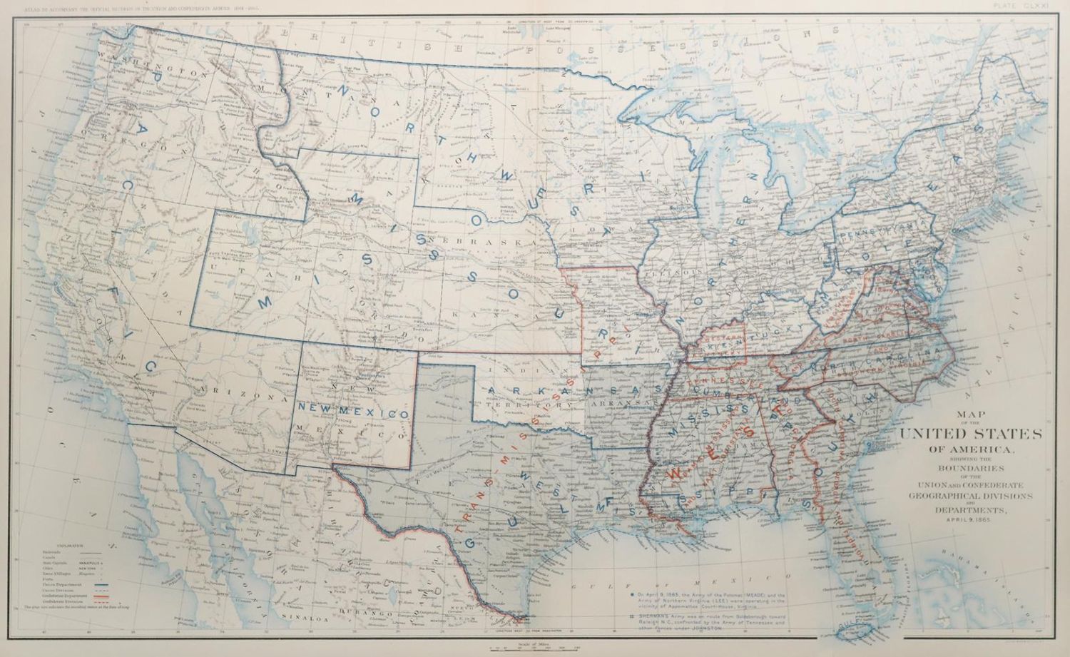
Vereinigte Staaten.
Map of the United States of America showing the boundaries of the Union and Confederate geographical divisions and departments, April 9, 1865. Farblithogr. bei Julius Bien & Co., N.Y. (1891-1895). Ca. 42,5 x 70,5 cm. Unter Glas gerahmt (nicht ausgerahmt).
Bl. CLXXI aus: Atlas to accompany the official records of the Union and Confederate Armies 1861-1865.
Große Abbildungen zum Artikel