Konvolut
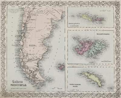
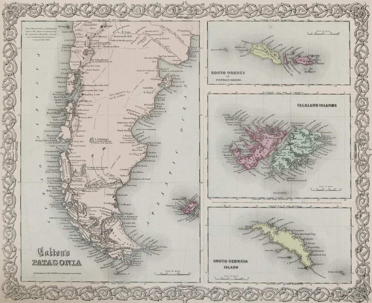
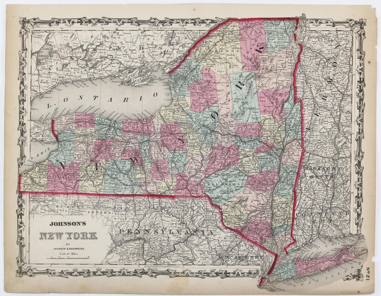
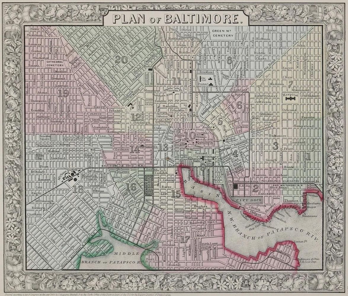
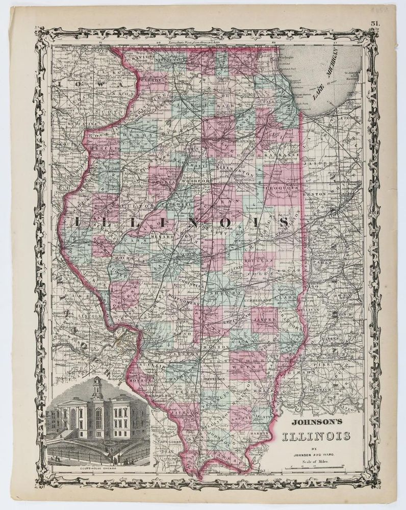
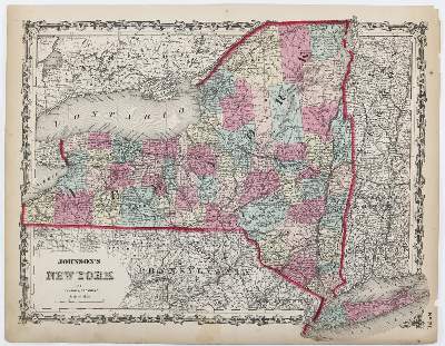
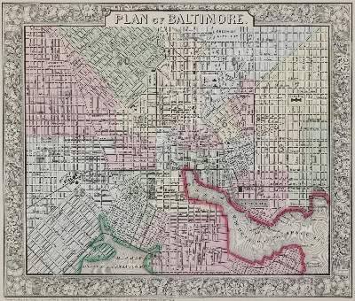
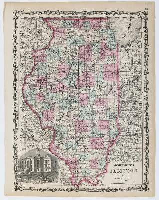
von 46 Bll. Stahlstich aus: Johnson's new illustrated family atlas with physical geography, and with descriptions, geographical, statistical, and historical, including the latest federal census, a geographical index, and a chronological history of the civil war in America by Richard Swainson Fisher; maps compiled, drawn, and engraved under the supervision of J.H. Colton and A.J. Johnson, um 1862. 36 x 46 cm. 26 dplblgr., sowie: Rand McNally new official railroad map of the United States and Southern Canada, Anf. 20. Jhdt. Insg. 47 Bll.
Bildübersicht zum Artikel
Große Abbildungen zum Artikel