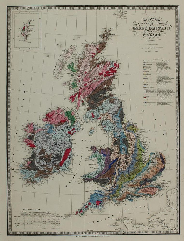
Grossbritannien.
Map of the United Kingdom of Great Britain and Ireland. Geologische Karte von Großbritannien und Irland. Altkolor. Kupferstichkarte von und bei J.Wyld, London um 1845. 48 x 36 cm. Mit kl. Nebenkarte "Shetland I." am oberen linken Eck u. Farb-Referenztabelle rechts. - Tls. Rand ger. fleckig.
Große Abbildungen zum Artikel