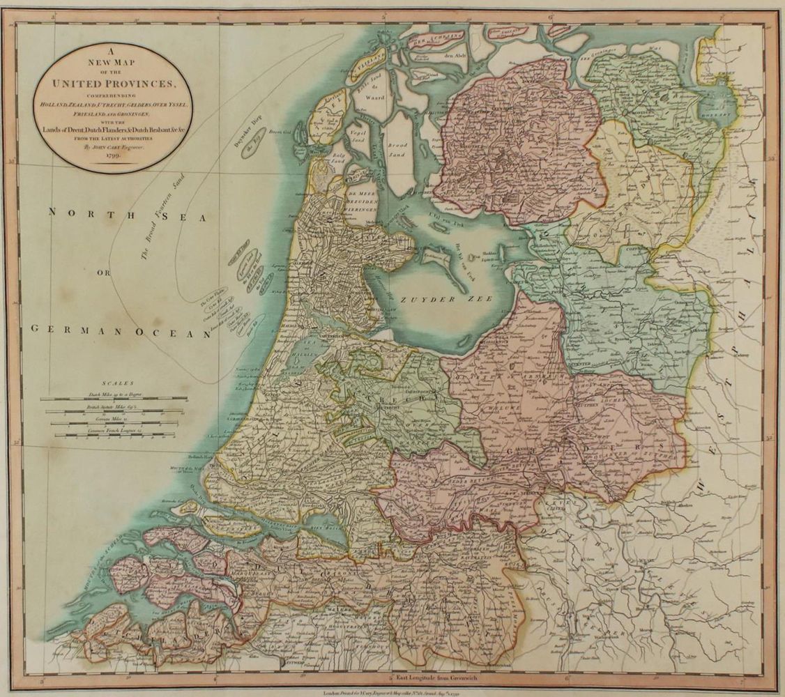
A New Map
of the United Provinces, comprehending Holland, Zealand, Utrecht, Gelders, Over Yssel, Friesland ... Latest Authorities. Grenz- und teilkolor. Kupferstichkarte, 1799 by John Cary. Hrsg. Anf. 19. Jhdt.ca. 47 x 52 cm. - Tls. etw. fl., leichte Knickspuren.
Große Abbildungen zum Artikel