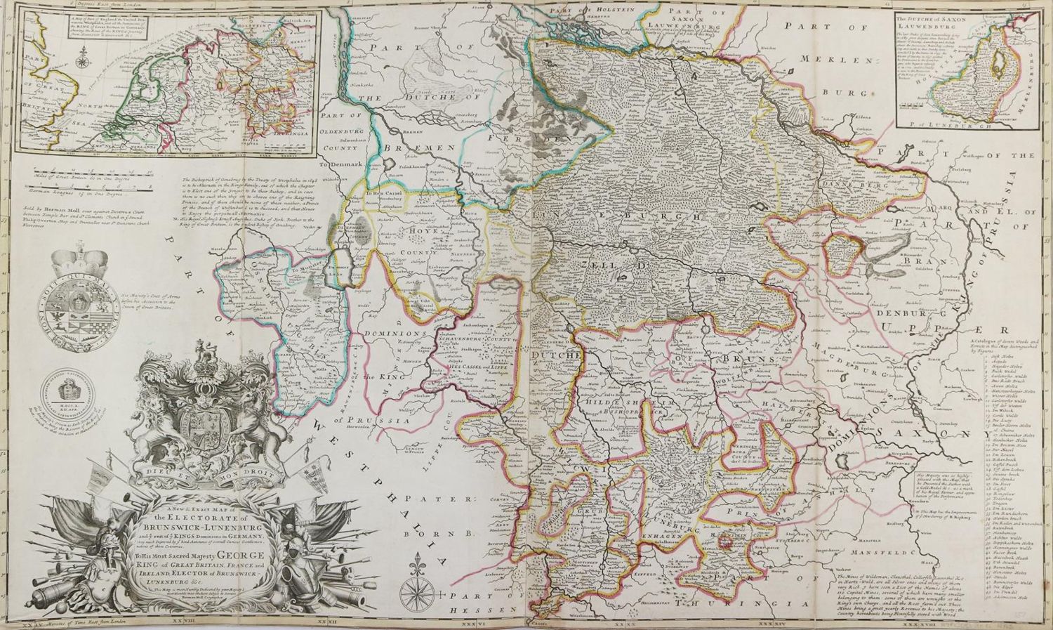
Braunschweig u. Lüneburg.
"A new & exact Map of the Electorate of Brunswick-Lunenburg". Grenzkolor. Kupferstichkarte von H.Moll von 2 Platten gedruckt bei P.Overton, Ldn. um 1720. 61,5 x 102 cm. Mit gr. herald. Titelkartusche unt. li. u. 2 Nebenkarten (15 x 28,5 u. 11,5 x 14 cm). Ob. u. unt. auf Einfassung geschn. Auf Lwd. aufgezogen u. mehrf. gefaltet.
Vereinz. stockfl. - ╔Dabei: Ditmarschen.╗ Thiemarsiae, Holsatiae regionis partis typus. Flächenkolor. Kupferstichkarte aus der frz. Ausg. des Ortelius-Atlas bei Plantin, Antwerpen ca. 1587. 30,5 x 19,5, Blgr. 40 x 27 cm. - Ob. im w. Rd. Wasserrd. Zus. 2 Bl.
Große Abbildungen zum Artikel