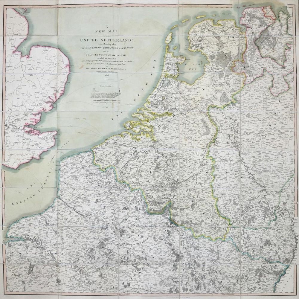
Benelux.
A new map of the United Netherlands, comprehending also the northern frontier of France and the country southward to Paris, on which are delineated the cities, towns, fortresses and principal villageswith their distance from each other as also from Paris, the post roads, course of the rivers, canals etc., drawn from the latest surveys. Grenzkolor. Stahlst.-Karte bei J. Cary, London 1828. In 40 Segmenten auf Lwd. aufkasch. u. mehrf. gefalt., ca. 110 x 110 cm. - Großformatige Karte der Vereinigten Niederlanden und Umgebung nach dem Wiener Kongreß.
Große Abbildungen zum Artikel