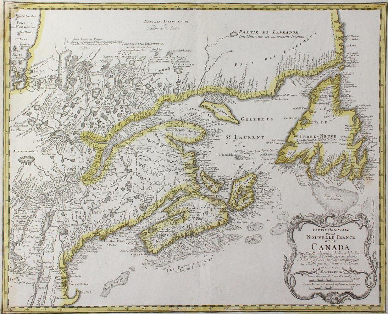
Kanada.
"Partie Orientale de la Nouvelle France ou du Canada". Das Gebiet um den St. Lawrence Golf, westliche Begrenzung James Bay-Boston. Grenzkolor. Kupferstichkarte v. Bellin bei Homann Erben, 1755. 43,5 x 54 cm. Mit ornament. Titelkart. unt. re.
Tooley, Printed Maps of America IV, Nr. 687: hier wohl fälschlich 1765 datiert, es handelt sich wie bei Nr. 684 um die etwas verkl. Ausgabe von 1755. - Li. Ecken etw. wasserrandig, vereinz. stockfl., unt. Knickf. neben dem Falz.
Große Abbildungen zum Artikel